
Best Dispersed Camping App: Find Free Campsites in the Wild
Discover the best dispersed camping apps to find free, remote campsites on public land. Plan your off-grid adventure with the right tools.
Use this guide for
Better camping decisions, faster trip planning, and clearer gear choices. Use this article as your starting point, then keep going with related camping guides and practical help articles below.
Dispersed camping — pitching your tent anywhere on public land outside of a designated campground — is one of the most freeing ways to experience the outdoors. No reservations, no fees, no neighbors six feet away. Just you and a wide stretch of national forest or BLM land. The catch? Finding a legal, safe spot requires a little research, and that's where a good dispersed camping app makes all the difference.
Whether you're planning your first off-grid night or you're a veteran of remote camping, the right app helps you locate open land, check regulations, and navigate to sites that don't show up on any campground booking platform.
What Is Dispersed Camping?
Dispersed camping means camping outside of established campgrounds on federally managed public land — primarily Bureau of Land Management (BLM) land and U.S. National Forests. Unlike reserved campsites, dispersed camping is generally free and available on a first-come, first-served basis.
Rules vary by area, but the common guidelines are:
- Camp at least 200 feet from water sources, trails, and roads
- Leave no trace — pack out everything you pack in
- Stay limits typically run 14 days before you must move on
- Some areas require free permits, especially during peak season
Top Dispersed Camping Apps
1. The Dyrt
The Dyrt is one of the most popular camping apps in the U.S. It includes a large user-submitted database of dispersed camping areas alongside traditional campgrounds. The free tier gives access to basic maps and reviews; the Pro subscription unlocks offline maps, which are essential when you're heading somewhere without cell service.
Best for: Crowdsourced reviews of dispersed spots, trip planning with offline access
2. OnX Backcountry
Originally built for hunters, OnX Backcountry has become a go-to for off-grid campers. It shows public and private land boundaries on a detailed topo map — critical for knowing exactly where you're allowed to camp. The property boundary layer alone makes it worth the subscription for anyone who camps on BLM or National Forest land regularly.
Best for: Identifying public land boundaries, understanding land ownership in unfamiliar areas
3. Gaia GPS
Gaia GPS is a powerful hiking and navigation app that layers USFS Motor Vehicle Use Maps (MVUMs) on top of topo and satellite imagery. MVUMs show which roads are open to motor vehicles, helping you find forest roads that lead to dispersed sites. You can also download maps for offline use before you leave cell range.
Best for: Navigation and route planning once you've identified a target area
4. iOverlander
iOverlander is a community-driven app focused on overlanding and free camping. It's especially strong for finding pull-off spots along forest roads and documenting site conditions like road quality and water access. Entries include photos and recent updates from other campers.
Best for: Overland travelers and anyone wanting ground-truth conditions from recent visitors
5. Recreation.gov
While best known for reservations, Recreation.gov also lists information on dispersed camping zones near recreation areas. It's a solid first stop for reading official land regulations and checking whether a permit is required in the area you're targeting.
Best for: Reading official regulations and checking permit requirements
How to Find a Good Dispersed Campsite
A great dispersed camping spot takes a few minutes to locate but pays off once you're there. Here's a simple workflow:
- Identify the land — Use OnX or Gaia to confirm you're looking at BLM or National Forest land
- Find a forest road — Look for roads rated passable for your vehicle on the MVUM layer in Gaia
- Check for flat clearings — Satellite view in The Dyrt or Google Earth shows where tents can fit
- Read recent reviews — The Dyrt and iOverlander both show user-submitted photos and notes from the past year
- Download offline maps — Do this before you leave home; cell service is often nonexistent in dispersed areas
Gear to Bring for Dispersed Camping
Dispersed camping means no amenities — no water spigots, no electrical hookups, no camp host. Your gear needs to carry the full load.
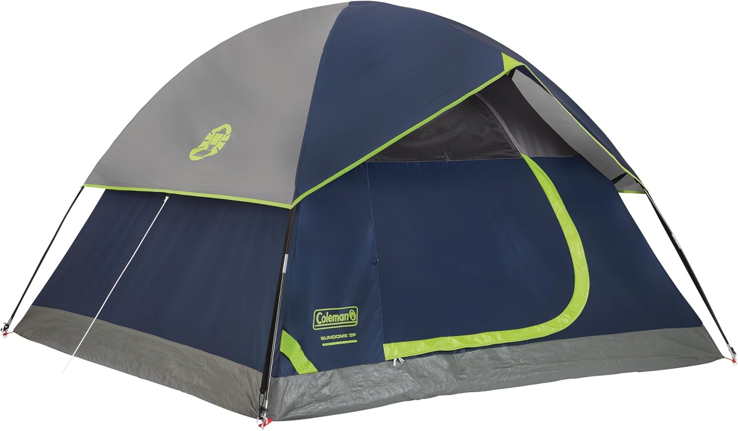
Coleman Sundome Camping Tent
A reliable, weather-resistant tent is non-negotiable in remote areas where you can't just drive to a motel if it rains. The Coleman Sundome sets up in under 10 minutes and handles rain well thanks to its included rainfly. Available in 2-, 3-, 4-, and 6-person sizes.
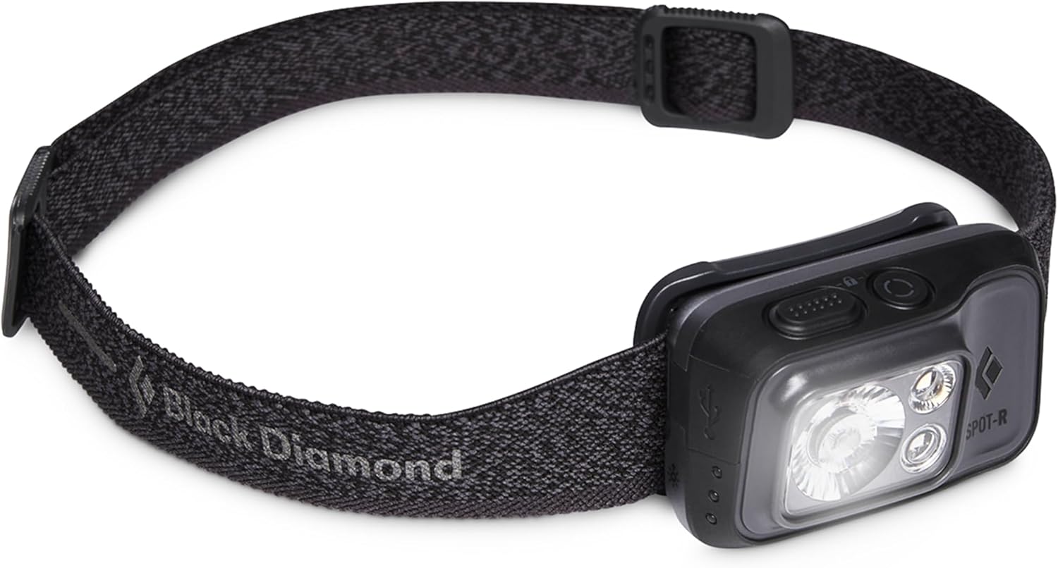
Black Diamond Spot 400-R Rechargeable Headlamp
Dispersed sites don't have lighting, and navigating in the dark without a reliable headlamp is how accidents happen. The Black Diamond Spot 400-R puts out 400 lumens, charges via USB-C, and is waterproof — more than enough for camp chores, nighttime bathroom trips, and hiking at dawn.
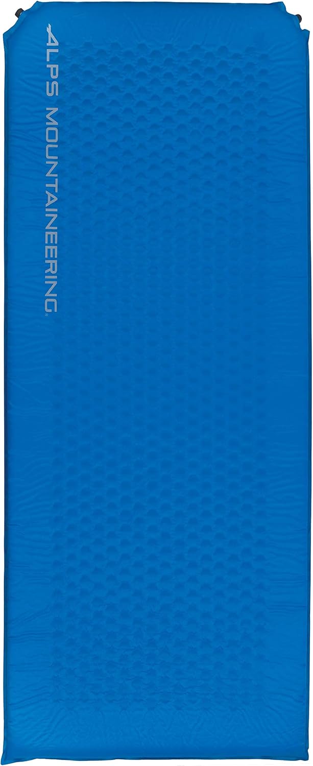
ALPS Mountaineering Flexcore Self-Inflating Air Pad
Rocky, uneven ground is the norm at dispersed sites. The ALPS Mountaineering Flexcore pad self-inflates in seconds and provides meaningful insulation from cold ground. Its open-cell foam construction packs smaller than most foam pads while staying comfortable enough for a full night's sleep.
Final Tips for Dispersed Camping
- Tell someone your plans — Share your coordinates or a general description of where you're going before you leave cell range
- Arrive before dark — Finding a flat, legal spot is much harder at night
- Check fire restrictions — Many dispersed areas have seasonal fire bans; check with the local ranger district before your trip
- Pack more water than you think you need — Water sources on maps aren't always flowing or safe to drink
The best dispersed camping app for you depends on how you camp. Start with The Dyrt for discovery and iOverlander for ground-truth conditions, then layer in OnX or Gaia for precise navigation once you've found your target. Used together, they cover the full loop from planning to parking your car and walking into the wild.